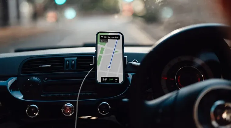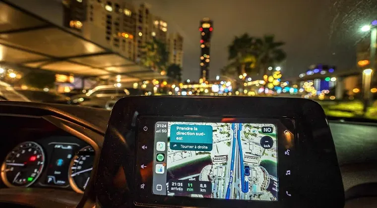
If navigation apps stop functioning, UAE drivers can still reach their destinations by using road signs, landmarks, offline maps, and local directions to travel safely and avoid getting lost.
Lost without GPS? Here’s how drivers in the UAE can navigate roads when apps stop working.
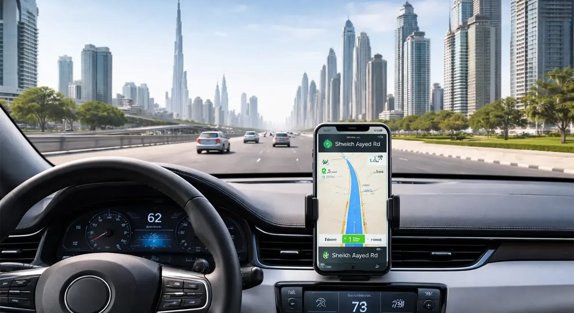
n recent years, navigation technology has become an essential part of daily life for motorists across the United Arab Emirates. From routine office commutes to weekend outings and visits to unfamiliar locations, many residents now depend almost entirely on GPS-based navigation applications to move around cities efficiently. In fast-paced urban centres such as Dubai and Abu Dhabi, digital maps and voice-guided directions have become deeply integrated into everyday driving habits.
For many drivers, using navigation apps is no longer limited to long-distance travel or unfamiliar routes. Even regular journeys are often guided by GPS systems that provide real-time traffic updates, estimated arrival times, road closures, and alternative routes. As a result, motorists have gradually become accustomed to relying on smartphones and in-car navigation systems for nearly every aspect of travel.
However, recent incidents involving navigation disruptions have exposed how dependent many people have become on these technologies. In situations where GPS signals weaken unexpectedly, map applications freeze, or displayed routes become inaccurate, drivers can quickly find themselves disoriented. What may initially appear to be a minor technical issue can rapidly create confusion, particularly on busy highways or in unfamiliar areas where quick decisions are required.
Across the UAE, some motorists have reported experiences where navigation systems suddenly stopped updating locations correctly or provided delayed instructions while driving. Others encountered situations in which maps displayed incorrect turns, inaccurate destinations, or roads that did not match the actual surroundings. Such disruptions can create stressful conditions, especially during peak traffic hours when drivers rely heavily on immediate guidance.
These problems are particularly concerning in cities with large highway networks and multiple interchanges. In places like Dubai, where roads are interconnected through complex exits and fast-moving traffic, missing a single turn can lead to long detours or sudden lane changes that may increase safety risks. Drivers unfamiliar with the road layout can become anxious or distracted when navigation systems fail to function properly.
As these challenges become more noticeable, some residents have started revisiting more traditional ways of finding directions. Instead of depending entirely on digital guidance, motorists are beginning to pay closer attention to road signs, memorise major landmarks, and familiarise themselves with city layouts before beginning a journey. Printed maps, once considered outdated, are even being reconsidered by some drivers as backup tools during emergencies or technical disruptions.
Others are choosing to download offline maps in advance so that routes remain accessible even if internet or GPS connectivity becomes unstable. Some motorists have also started planning journeys ahead of time rather than relying solely on live navigation prompts while driving. These adjustments reflect a growing awareness that technology, while useful, is not always guaranteed to function perfectly under all conditions.
Traffic and road safety experts have also weighed in on the issue, warning that overdependence on GPS systems may reduce a driver’s independent awareness of their surroundings. According to traffic specialist Mustafa Al Dah, many people have become overly reliant on navigation technology without fully understanding its limitations. He explained that while GPS systems are highly advanced and convenient, they were never originally intended to become the sole method of navigation for everyday civilian use on such a massive scale.
Al Dah noted that drivers today often follow digital instructions automatically, sometimes without observing nearby road signs or understanding the broader road network around them. This habit, he said, can create problems when technology suddenly fails or produces inaccurate information. In such moments, motorists who lack basic orientation skills may struggle to react calmly or make safe driving decisions.
He further explained that earlier generations of drivers were more accustomed to navigating using memory, landmarks, and physical directions. People learned to recognise important roads, exits, neighbourhoods, and city features through repeated travel experiences. While modern technology has undoubtedly improved convenience and efficiency, it has also reduced the need for drivers to develop these practical navigation skills themselves.
According to Al Dah, the issue is not the existence of GPS technology itself but the extent to which many motorists depend on it without maintaining situational awareness. He stressed that navigation applications should serve as supportive tools rather than complete replacements for driver attention and judgment. Drivers still need to understand traffic flow, road signage, and general geography in order to travel safely, especially during unexpected disruptions.
He also highlighted that navigation systems can occasionally produce errors due to weak satellite connections, technical malfunctions, software glitches, or signal interference. In some cases, environmental conditions or dense urban infrastructure may also affect GPS accuracy. Because of this, motorists should always remain attentive to their surroundings instead of relying entirely on spoken instructions from an application.
Road safety specialists warn that confusion caused by navigation failures can sometimes result in dangerous driving behaviour. Sudden braking, last-minute lane changes, illegal turns, or distracted driving may occur when motorists panic after missing an exit or losing route guidance. Such reactions can increase the risk of traffic incidents, particularly on high-speed roads.
To reduce these risks, experts encourage drivers to familiarise themselves with key routes and landmarks whenever possible. Understanding the general direction of travel, nearby exits, and major highways can help motorists remain calm even if digital systems temporarily stop functioning. Basic preparation before starting a journey can significantly reduce stress during unexpected navigation problems.
Many residents have also begun sharing personal experiences of adapting to temporary GPS failures. Some say they now pay more attention to highway signboards instead of following applications blindly. Others mention memorising important landmarks such as shopping malls, bridges, towers, and major intersections to better orient themselves while driving.
For long-term residents, years of driving experience often make it easier to adjust when navigation systems fail. However, newcomers or tourists may face greater difficulties because they are less familiar with the road network and local geography. This has highlighted the importance of balancing technological convenience with practical driving awareness.
At the same time, experts acknowledge that navigation technology continues to offer enormous benefits when functioning correctly. GPS applications help reduce travel time, improve route efficiency, and provide valuable traffic information in rapidly developing cities. The goal, they say, is not to abandon digital navigation but to use it more responsibly and thoughtfully.
Ultimately, the recent navigation disruptions have served as a reminder that technology should complement human awareness rather than replace it entirely. While modern navigation systems remain highly useful tools, drivers who combine technology with observation, preparation, and basic directional knowledge are often better equipped to handle unexpected situations on the road.
As UAE residents continue adapting to increasingly digital lifestyles, many are now recognising the importance of maintaining traditional navigation skills alongside modern conveniences. Whether through learning city layouts, observing road signs more carefully, or planning routes in advance, motorists are gradually rediscovering the value of independent navigation in an era dominated by GPS technology.
Traffic expert Mustafa Al Dah explained that understanding the origins of GPS technology helps people better understand why navigation systems can occasionally experience disruptions or limitations. Speaking to Insider 18, he said many users today view GPS as a fully dependable everyday tool without realising that the system was initially created for a very different purpose.
According to Al Dah, the Global Positioning System was originally developed decades ago by the United States military. Its primary role at the time was to support military operations by helping personnel determine locations, coordinate movements, and improve navigation accuracy during missions. The system was designed to serve strategic and defence-related objectives rather than the needs of ordinary civilian drivers navigating city streets.
Over time, however, the technology expanded beyond military use and gradually became accessible to the public. As GPS systems became integrated into commercial products, smartphones, vehicles, and mapping applications, civilian dependence on the technology increased significantly. What began as a specialised military navigation tool eventually evolved into an essential part of daily life around the world.
Al Dah noted that many people today rely on GPS almost automatically, often without considering the system’s original limitations or technical vulnerabilities. Because navigation apps have become so common and convenient, motorists frequently assume they will function perfectly at all times. However, he explained that no navigation system can guarantee uninterrupted accuracy under every condition.
He pointed out that while GPS technology is highly advanced and widely trusted globally, occasional disruptions are still possible. Technical interruptions, weak signals, atmospheric conditions, software errors, or interference can all affect navigation performance. In some situations, maps may freeze, locations may appear incorrectly, or navigation instructions may become delayed or inaccurate.
According to Al Dah, these issues highlight the fact that GPS was never originally developed as a flawless civilian guidance system intended for billions of daily users worldwide. Although the technology has improved enormously over the years, it still remains vulnerable to various technical and environmental factors that can impact its reliability.
The traffic expert also referred to alternative global navigation systems developed by other countries. One example he mentioned was GLONASS, the satellite navigation system created by the former Soviet Union and later expanded by Russia. Similar to GPS, GLONASS provides positioning and navigation services through a network of satellites orbiting the Earth.
He explained that several countries and regions now operate their own satellite navigation systems in order to reduce dependence on a single network and improve coverage worldwide. These systems are often used together in modern smartphones and navigation devices to increase positioning accuracy and strengthen signal reliability.
However, Al Dah stressed that even alternative systems such as GLONASS are not entirely immune to technical problems or signal interference. Satellite-based navigation systems can still experience disruptions caused by environmental conditions, electronic interference, or intentional signal blocking technologies. As a result, no system can be considered completely fail-safe in every situation.
Discussing the technical side of navigation technology, Al Dah explained that GPS systems determine a user’s location through a process known as triangulation. This method involves receiving signals from multiple satellites positioned in orbit around the Earth. By calculating the distance between the device and several satellites simultaneously, the system can identify a precise geographic location.
He noted that for accurate positioning, a GPS receiver generally requires communication with at least three satellites. Each satellite continuously sends timing and positioning information to devices on the ground. The navigation system then processes this information to calculate coordinates and determine the user’s exact location.
The more satellites available to the device, the more accurate the positioning result can become. However, if signals are interrupted or blocked, the system may struggle to calculate location correctly. In urban environments with tall buildings, tunnels, or heavy infrastructure, signal quality may occasionally weaken, affecting navigation accuracy.
Al Dah added that many people are unaware of how dependent modern navigation systems are on uninterrupted satellite communication. Because GPS functions automatically in the background, users often take the technology for granted until a problem occurs. When disruptions happen unexpectedly, motorists may suddenly realise how much they rely on digital guidance for even simple journeys.
He encouraged drivers to maintain a basic understanding of road networks and surroundings instead of depending entirely on navigation applications. While GPS remains an extremely valuable tool, he said combining technology with personal awareness and observation is important for safer driving and better preparedness during technical issues.
Ultimately, Al Dah’s comments highlighted the balance between technological convenience and practical navigation skills. While satellite navigation systems have transformed transportation and made travel significantly easier, they are still technological tools with limitations rather than infallible systems capable of functioning perfectly under all circumstances.

Traffic expert Mustafa Al Dah explained that satellite-based navigation systems depend heavily on receiving uninterrupted communication from multiple satellites in orbit. According to him, GPS technology determines a user’s position by calculating signals transmitted from space, and accurate positioning becomes difficult when those signals are limited or interrupted.
He noted that navigation systems generally require contact with at least three satellites to identify a location correctly. Without enough satellite connections, the system struggles to determine precise coordinates, which can lead to incorrect positioning, delayed route updates, or sudden location errors on navigation applications.
Al Dah pointed out that many motorists assume GPS systems work perfectly under all circumstances, but the reality is that signal quality can vary significantly depending on the environment. In particular, densely built urban areas often create conditions that interfere with satellite communication.
He explained that modern cities filled with tall towers, high-rise residential buildings, and large commercial structures can obstruct signals travelling between satellites and mobile devices. As drivers move deeper into heavily developed urban zones, navigation accuracy may gradually decline because buildings partially block or reflect the incoming satellite signals.
Underground areas present even greater challenges for navigation systems. Parking garages, tunnels, basement roads, and enclosed structures often reduce or completely interrupt GPS connectivity. According to Al Dah, once a vehicle moves below ground level, devices may struggle to maintain communication with enough satellites to provide reliable positioning information.
He further explained that the issue is not limited to concrete buildings alone. Metal structures and enclosed spaces can also weaken signal reception through what is commonly referred to as the “Faraday cage” effect. In such situations, surrounding materials interfere with electromagnetic signals, making it harder for GPS devices to receive accurate satellite data.
As navigation disruptions become more noticeable, many residents are beginning to reconsider how much they depend on digital navigation systems during daily travel. Some motorists are gradually returning to more traditional navigation habits, including paying closer attention to road signs, memorising major routes, and using visible landmarks to guide themselves through cities.
Al Dah stressed that when navigation problems occur while driving, motorists should focus first and foremost on maintaining road safety rather than attempting to fix their devices immediately. He warned that panic reactions behind the wheel can create dangerous situations not only for the driver but also for surrounding vehicles.
According to him, the safest response during a GPS failure is to continue driving calmly and predictably until a secure location is available to stop. He emphasized that motorists should avoid making sudden decisions simply because they become uncertain about their route.
He explained that many accidents occur when drivers react impulsively after losing navigation guidance. Abrupt lane changes, sudden braking, illegal turns, or stopping unexpectedly on active roads can create confusion for nearby drivers who have no knowledge that a navigation problem has occurred.
Al Dah specifically warned against stopping in unsafe locations such as highway shoulders, traffic lanes, or busy intersections. Other motorists on the road are focused on traffic flow and may not anticipate unpredictable behaviour caused by someone struggling with navigation issues. According to him, these sudden and unusual movements often create far greater risks than the navigation failure itself.
Instead of reacting immediately, he advised drivers to remain calm, continue moving safely with traffic, and use available visual references to regain orientation. Road signs, highway exit boards, major landmarks, and familiar buildings can often help motorists identify their location even when digital maps temporarily stop functioning.
He also encouraged residents to prepare for possible navigation disruptions in advance rather than waiting until problems occur. One practical solution, he said, is downloading offline maps that remain accessible without a live GPS or internet connection. Many modern navigation applications allow users to save routes, city maps, or entire regions directly onto their devices.
According to Al Dah, these backup tools can become extremely useful during temporary signal loss or technical interruptions. Drivers who prepare routes beforehand may find it easier to continue their journey safely without depending entirely on real-time satellite communication.
He added that backup navigation methods are not a new concept. In fact, forms of vehicle navigation existed long before modern GPS technology became widely available. Earlier automotive systems relied on stored digital maps combined with sensors that tracked vehicle movement, speed, and direction rather than depending solely on live satellite signals.
These older technologies used a process known as dead reckoning, where the system estimated a vehicle’s position based on previous movement patterns. While less advanced than modern GPS systems, such methods still provided useful directional assistance and demonstrated that navigation can function through multiple technological approaches.
Al Dah suggested that the recent challenges affecting navigation systems could encourage further innovation within the transportation and technology industries. As reliance on digital mapping continues to grow worldwide, companies and technology developers are likely to invest more heavily in alternative solutions capable of improving reliability during signal disruptions.
He expressed confidence that technology entrepreneurs, software developers, and innovators will continue working on systems designed to overcome current limitations. According to him, the technological capabilities available today are significantly more advanced than those of previous decades, creating opportunities for more sophisticated and resilient navigation systems in the future.
Modern computing power, artificial intelligence, sensor technology, and integrated mapping systems could potentially reduce dependence on a single navigation source. Future systems may combine multiple technologies simultaneously, including satellite positioning, offline mapping, motion sensors, and real-time infrastructure data, to improve navigation reliability even in difficult environments.
Al Dah believes the transportation sector is already moving toward smarter and more adaptive navigation technologies. As cities become increasingly connected through digital infrastructure, future navigation tools may rely on broader networks that extend beyond traditional satellite systems alone.
At the same time, he stressed that regardless of technological advancements, drivers will always need to maintain basic situational awareness and practical navigation skills. Technology can assist motorists, but it should not completely replace human judgment, observation, or preparedness.
The recent rise in navigation-related disruptions has served as an important reminder for many residents that digital convenience can sometimes create overdependence. While GPS applications remain extremely valuable for modern transportation, experts say motorists should still develop the ability to navigate independently when necessary.
For many drivers in the UAE, these experiences have encouraged greater awareness of road layouts, signage systems, and major city landmarks. Some have begun memorising frequently used routes rather than following navigation instructions automatically for every journey.
Others are taking additional precautions by saving offline maps, reviewing destinations before departure, or learning alternative roads in case navigation systems become unreliable during travel. These habits, experts say, can improve both confidence and road safety.
Ultimately, Al Dah’s observations highlight the balance that modern motorists must maintain between technology and personal awareness. Navigation systems have transformed the way people travel, making journeys faster and more efficient, but they are still tools that can occasionally fail or experience limitations.
By staying calm during disruptions, using backup navigation methods, and prioritising safe driving behaviour, motorists can better handle unexpected technical issues without creating unnecessary risks on the road. At the same time, continued technological innovation is expected to improve the reliability and resilience of navigation systems in the years ahead, helping reduce future disruptions while supporting safer and smarter transportation networks.