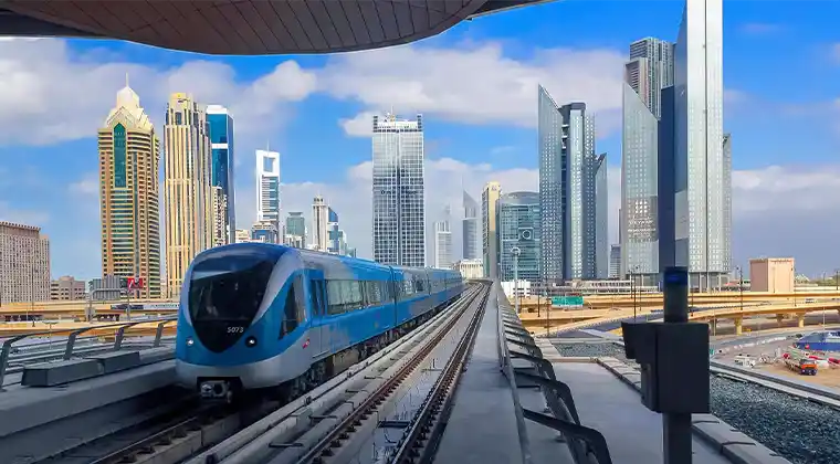
The statement highlights the released route map of the Dubai Metro Blue Line and provides details about how many stations will be elevated above ground and built underground.
Dubai Metro Blue Line corridor map; count of elevated, subterranean stations disclosed
Dubai Metro Blue Line is set to feature five elevated stations, four underground stations, four planned “future elevated stations,” along with one underground interchange station, according to the Roads and Transport Authority.
The system will span 14.5km above ground and 15.5km below ground, designed to handle a daily passenger capacity exceeding 350,000 commuters.
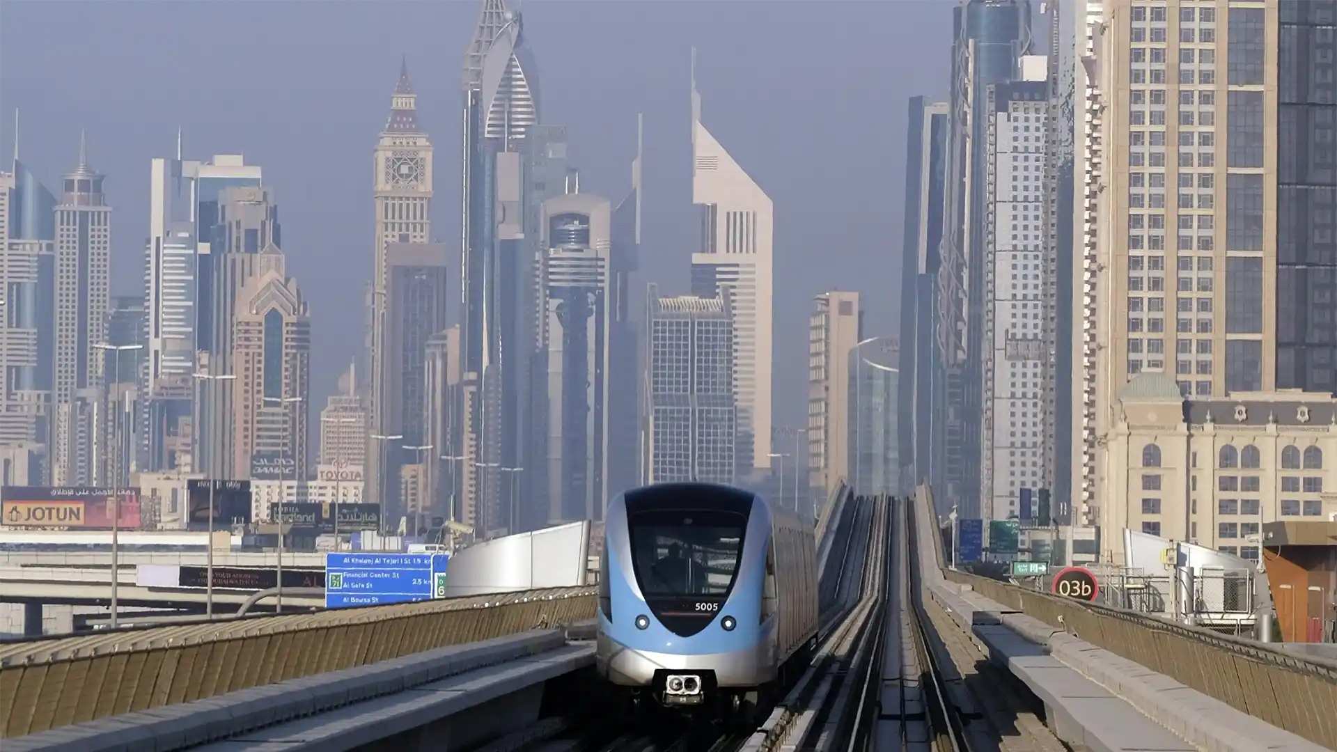
Connecting the Red Line with the Green Line, the launch of the new Metro route marked a significant milestone in Dubai’s transport journey. Dubai Ruler Sheikh Mohammed bin Rashid Al Maktoum laid the Blue Line’s foundation stone in June, when the first station was also revealed.
By November 2025, construction progress reached 10 per cent, achieved within a short period of just five months.
The Blue Line is expected to ease congestion, shorten travel times, and improve connectivity across emerging residential and commercial districts. With modern stations, seamless interchanges, and advanced signaling systems, the project supports Dubai’s long term urban growth strategy. The mix of elevated and underground sections minimizes land impact while maximizing network reach. Once operational, the line will encourage public transport use, reduce reliance on private vehicles, and enhance commuter comfort. Authorities expect the project to generate employment during construction and operations, while reinforcing Dubai’s position as a regional leader in sustainable, integrated mobility solutions for future-ready, efficient urban transportation networks.
The Blue Line will also integrate smart mobility features, including real time passenger information, energy efficient trains, and improved accessibility for people of determination. Station areas are planned as transit oriented hubs, supporting retail, pedestrian access, and feeder transport services. The project aligns with Dubai’s sustainability goals by reducing carbon emissions and promoting eco friendly travel choices. Enhanced connectivity is expected to boost property values and economic activity along the corridor. With phased development and future station provisions, the Blue Line is designed to adapt to population growth and evolving travel demands across the emirate.
Which locations will the stations run through?
It was previously disclosed that the first alignment, featuring 10 stations, begins at the Green Line’s Creek station and travels through Dubai Festival City, Dubai Creek Harbour and Ras Al Khor, before arriving at International City 1, which houses an underground interchange station. The line then moves onward to International City 2 and 3, stretching further to Dubai Silicon Oasis and reaching Academic City.
The second alignment, comprising four stations, originates at the Red Line’s Centrepoint station, runs through Mirdif and Al Warqa, and ends at the International City 1 Interchange Station.
The elevated stations’ outer design draws inspiration from a seashell shape, while the interior layouts follow seven thematic concepts: Heritage, Earth, Air, Fire and Water.
Initial station design
The inaugural station, titled Emaar Properties, was created by the same visionary team responsible for the world’s tallest structure, the Burj Khalifa. The well-known American architectural firm Skidmore, Owings & Merrill (SOM) has also designed New York’s Olympic Tower and Chicago’s Sears Tower.
Rising to a height of 74 metres (242 ft), the station spans three levels and is set to become the tallest metro station worldwide. The present design features soaring walls that stretch skyward, while maintaining the familiar metro terminal arch. Natural light will filter onto the platform through carefully positioned glass panels.
Effect on communities
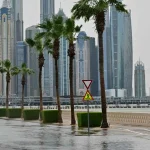
To date, road diversions have been announced across several areas of the emirate, as Dubai accelerates efforts to complete the Metro Blue Line.
Being close to this major transport link has emerged as a key factor for neighbourhoods, with rental prices increasing sharply in locations near the new Metro route.
The metro line is expected to reduce traffic congestion along its covered routes by 20 per cent. By 2029, an estimated 50,000 university students from Academic City are expected to use the Blue Line.